Resistivity Imaging Identifies Potential Contaminant Transport Pathway
Resistivity Imaging maps potential subsurface transport pathway…
September 17, 2019/by Matt MueggenborgWidespread Salt Contamination Mapped on 15,000 Acre Ranch
Lithochimeia was retained to investigate current and historic…
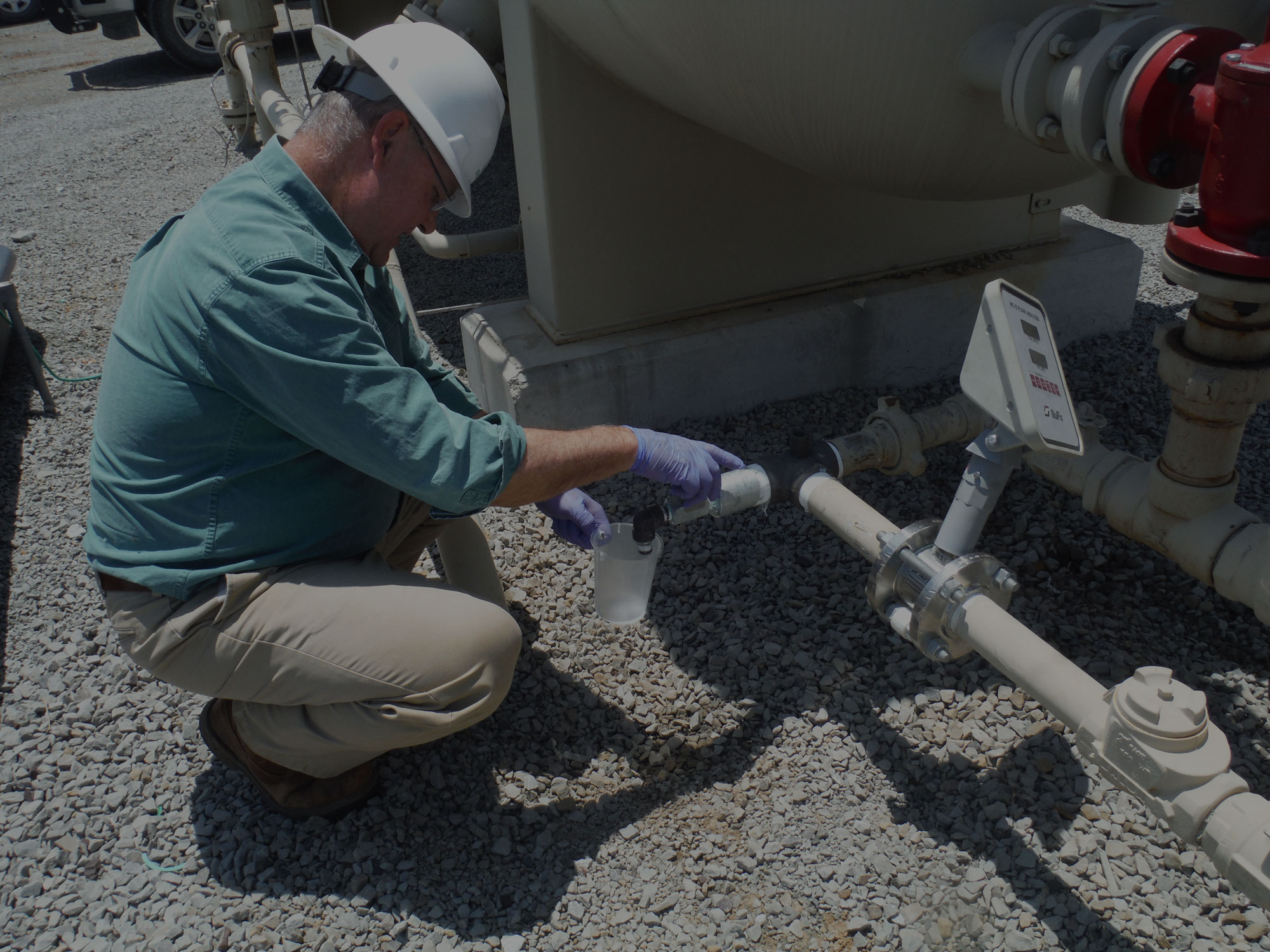
September 17, 2019/by Matt MueggenborgGeophysical Investigation Uncovers Hidden Contamination
Lithochimeia was retained to investigate high salinity liquids…
September 17, 2019/by Matt MueggenborgOil and Gas Contamination in Osage County, Oklahoma
In 2000, Osage County rancher and landowner, Don Quarles, brought…
August 7, 2019/by Scott SiemensCarbon Black Contamination in Ponca City, Oklahoma
In 2004 the Ponca Tribe of Indians filed suit against Continental…
August 7, 2019/by Scott SiemensPoultry Waste Contamination of Surface Water in Northeastern Oklahoma
A large and growing numbers of broiler chickens and other poultry…
August 7, 2019/by Scott SiemensDisputed Groundwater Withdrawal Permit in South-Central Oklahoma
In November 2002, Meridian Aggregates Co., a wholly owned subsidiary…
August 7, 2019/by Scott SiemensNPDES Permit Dispute near Hot Springs, Arkansas
In March 2006, an individual citizen filed a request for review…
August 7, 2019/by Scott SiemensOilfield NORM Defense, Southwestern Mississippi
Assisted in the technical defense of a large multinational oil…
August 7, 2019/by Scott SiemensNatural Resource Damages, Calcasieu Estuary, Louisiana
The Calcasieu Estuary includes the area of the Calcasieu River…
August 7, 2019/by Scott Siemens